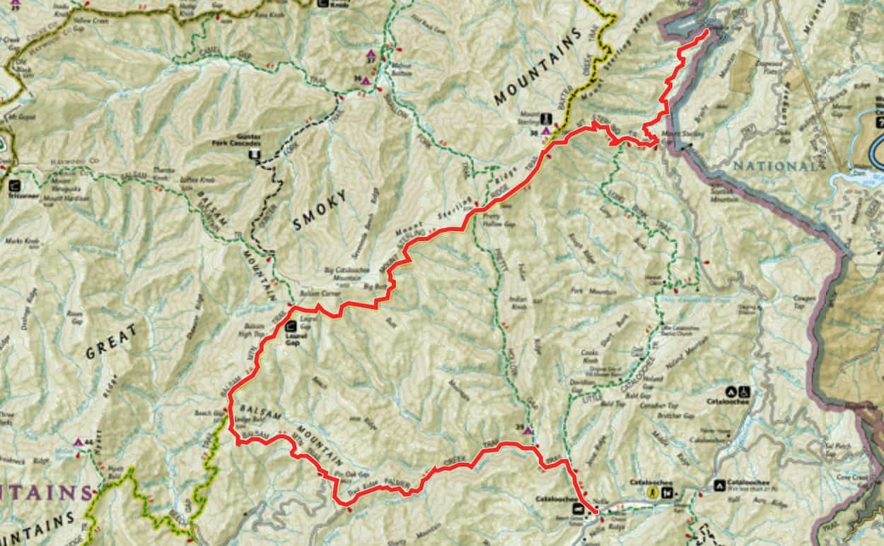
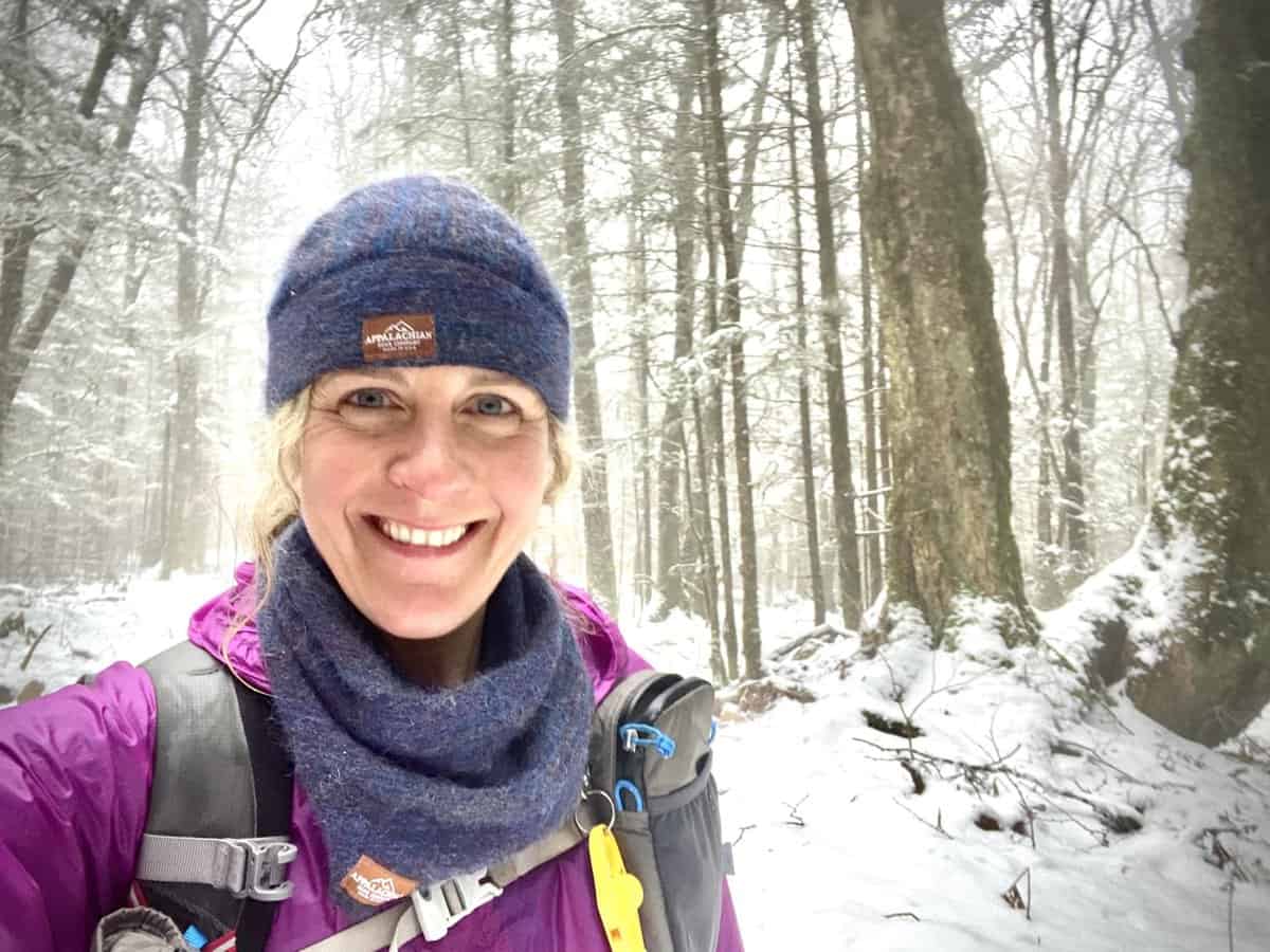
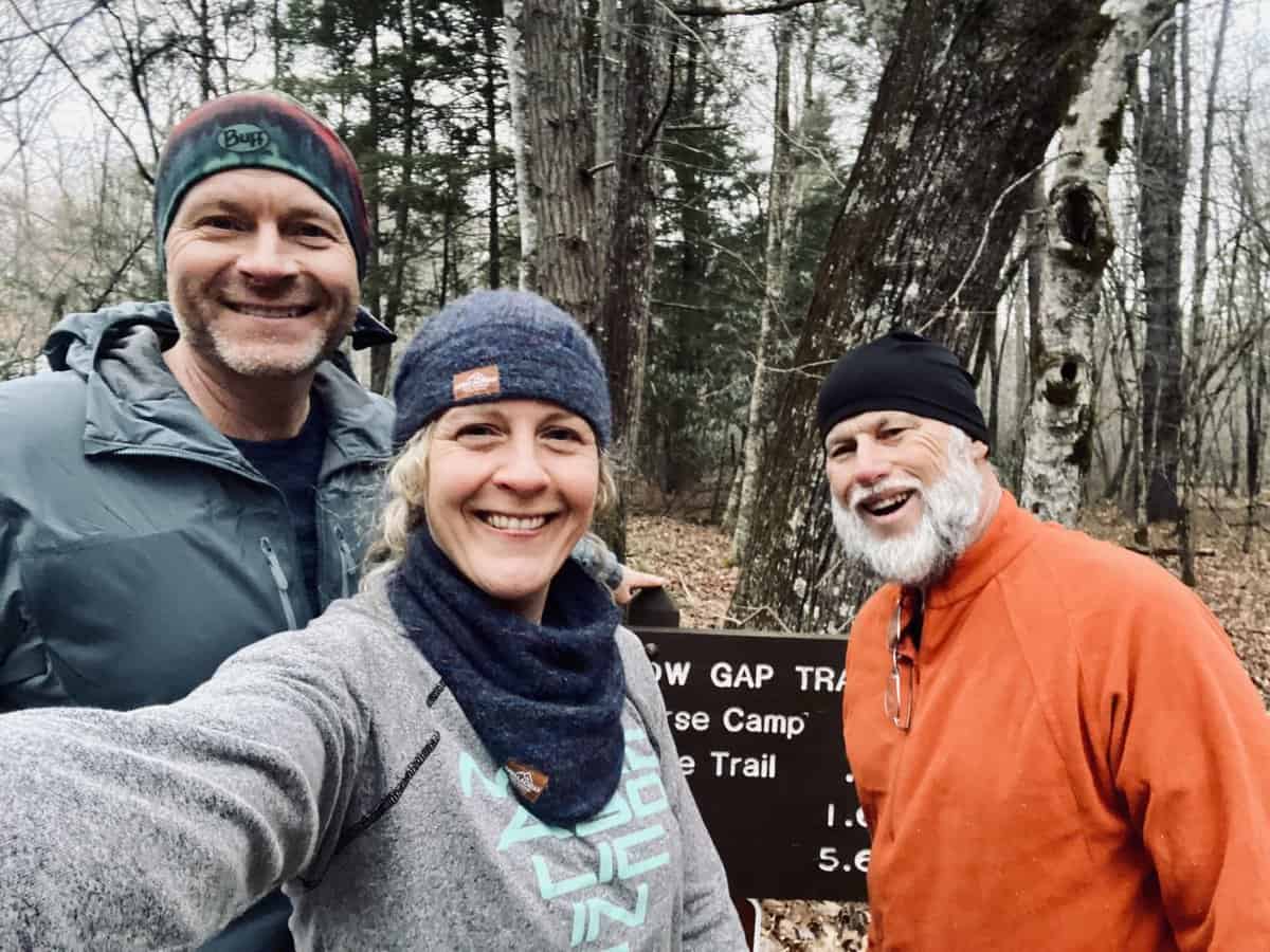
 The following is a trail journal of a one-way, nearly 20-mile hike in Great Smoky Mountains National Park connecting the following trails: Mt. Sterling, Mt. Sterling Ridge, Balsam Mountain, Palmer Creek and Pretty Hollow Trails. I hiked with two of my faves, Chris and Lane, on a chilly day on the last day of January.
Chris and I hiked the Tour de LeConte together back in the fall, and Lane is on my SAR team with me. Both of them are near and dear to my heart, and a day spent in the woods together is bound to be fun.
Trail Journal
Lane and I carpool to Cataloochee Valley to meet Chris by 7:15, but I realize on my way to pick him up that I’m going to be low on gas for our return trip. So I stop for a quick fill up and am a couple of minutes late meeting him. I find him searching for his missing gloves in his car as I pull up, which delays us a couple more minutes. Lane’s trail name (bestowed upon him by yours truly) is “Lost and Found,” so these things never come as a surprise, despite the fact that he is one of the most intelligent and analytical people I’ve ever known.
We’re nearly 15 minutes late but Chris takes it in stride, like he does most things in life. We leave Chris’s car parked at the Pretty Hollow Gap trailhead and head for Mt. Sterling Gap, via the the secondary gravel road which connects Cataloochee Valley to the Big Creek area. Except that there is a closed gate blocking our planned path. Ugh. They weren’t supposed to button this road up until February 10, when construction starts on Cove Creek Rd., so we’re a bit confused (and frustrated).
We take a chance and head to Big Creek, in hopes that the road might still be open on the other side. An hour and 20 minutes later, we arrive at yet another closed and locked gate at the park boundary. Well, damn.
We’ve come too far to let go of the idea of hiking this route though, so we make the 2.5 mile road walk to Mt. Sterling Gap. Lane hasn’t hiked in a couple of months since he’s been nursing an injured toe. I half laugh, half cringe, thinking about how sore he’s gonna be the next morning!
We ascend Mt. Sterling Trail with snow falling around us. It’s a constant battle of layering and unlayering, along with pulling out umbrellas, to shield us from the precipitation. Lane does in fact find his gloves, like he usually does when he thinks he’s lost something. I’m impressed with how strong he is on the climb, despite his long hiatus from the type of cardiovascular effort that Sterling demands.
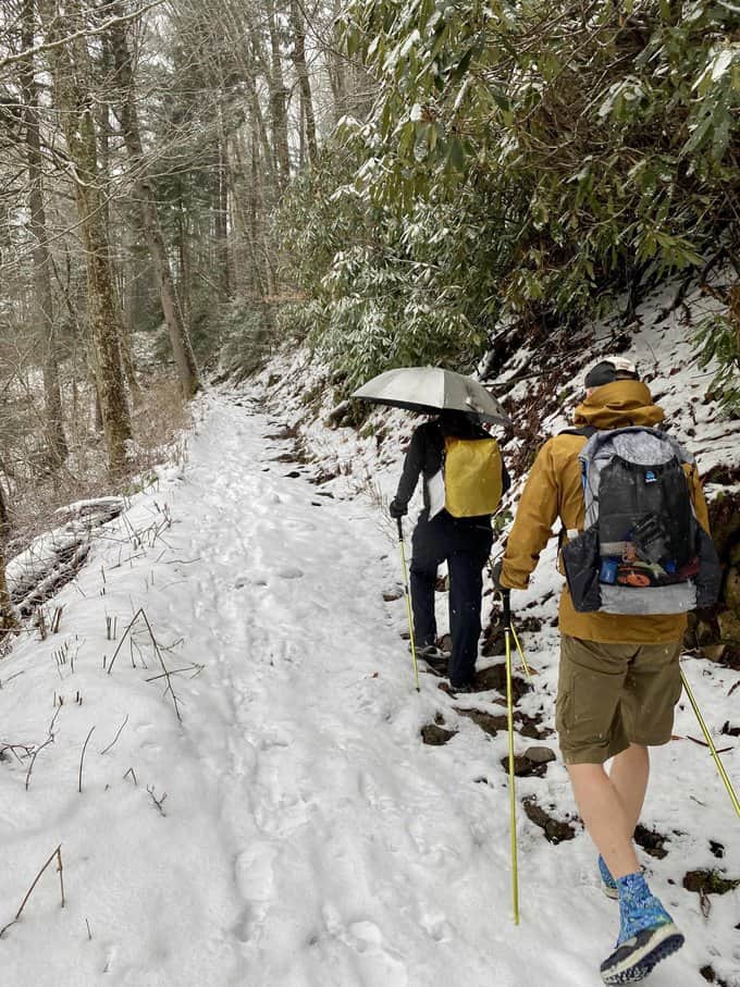
An umbrella is just in handy as snow as it in rain, despite what Chris thinks about them. 😉
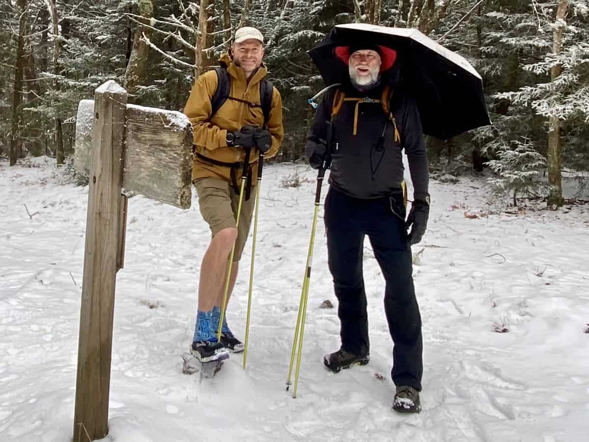
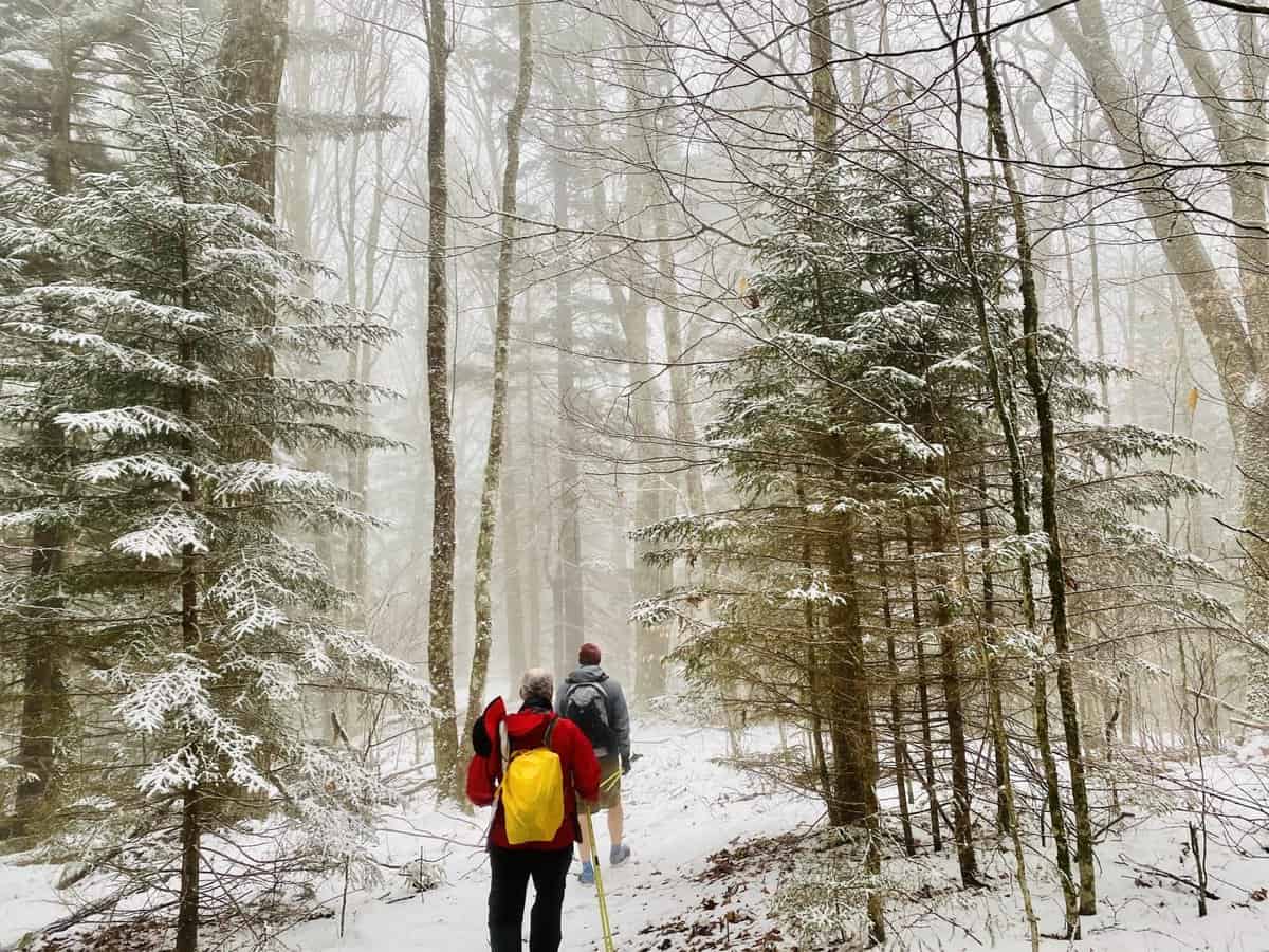
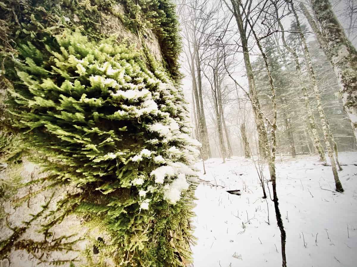
We reach the ridge, stop for a quick break with a photo op, and carry on. Both of the guys are more sure footed than I am in the snow, so I become the caboose on this hike. I’m thankful to be in this position anyway, because I can’t stop taking pictures. The snow is clinging to the spruce-fir forest and the moody day makes a stunning backdrop.
We make good time, despite the conditions, and arrive at the Balsam Mountain Trail junction. Just a few more miles and we’ll reach Laurel Gap Shelter where we all spent the night last year as we traversed the Smokies section of the Benton MacKaye Trail together (one day I’ll get around to telling that story too–it was a great adventure).
Nothing makes me happier than a winter hike in the Smokies, especially with a little snow thrown in.
As we’re hiking along Balsam Mountain Trail, we see someone running towards us in the distance. He’s wearing running shorts, a short sleeve shirt, and a running vest. He’s cruising and makes the entire endeavor appear effortless. Oh, to be that strong and fearless, gliding down the trail that fast. It’s not the cloth I’m cut from though, so I simply marvel in his athleticism as he passes us and we continue on.
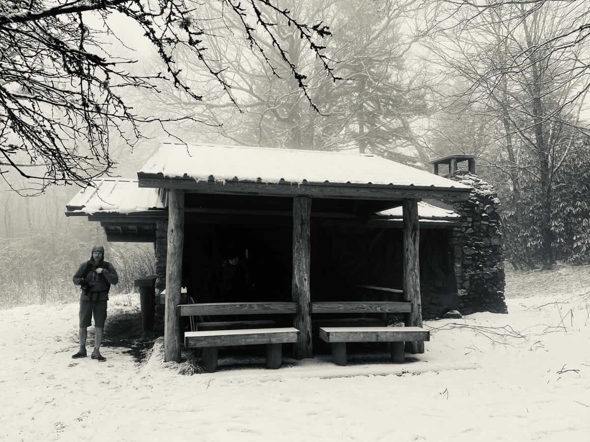
We reach Laurel Gap Shelter and find it empty. We eat inside since the tarp covering the open side keeps it slightly warmer than the outside air; however, I regret not sitting outside to soak in the scenery as we eat. It’s hard to take in the beauty of the snowy landscape while you’re hiking and trying to stay upright.
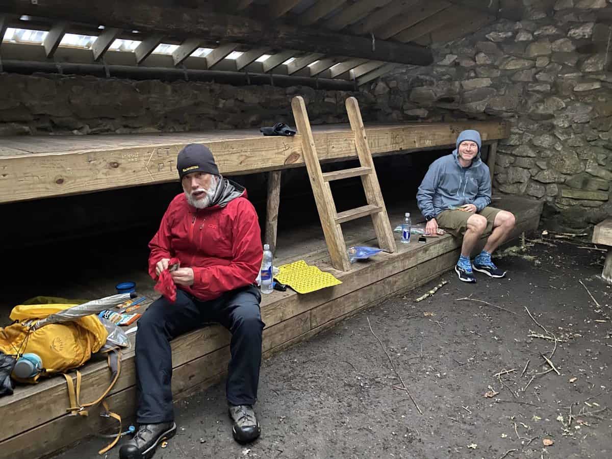
To avoid cooling off too much, we don’t linger long. We still have several miles back to the car, and our unexpectedly longer route has us chasing daylight. While our conversation was sparse the first half of the hike, it picks up now that we’re on a nearly constant downhill stretch with easier terrain. We have so much to catch up on, and it’s nice to talk in person versus our extensive email threads. Lots in the works that we are helping each other with, and it’s exciting to all be together talking about it.
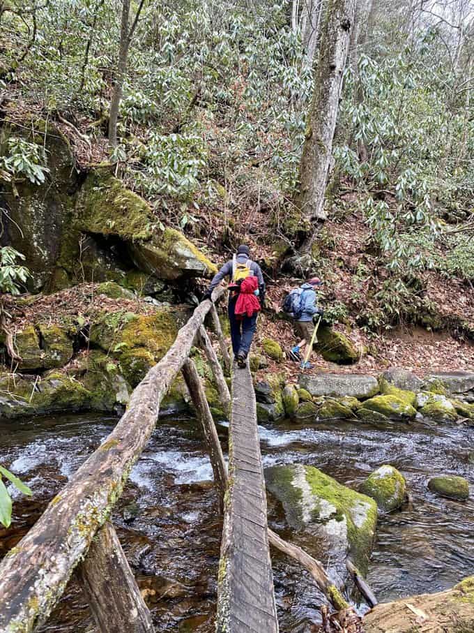
We make the short road walk on the seasonally closed Round Bottom Rd. (or is it Straight Fork Rd–I never can figure out where one ends and the other begins) and we hit Palmer Creek Trail for our final few miles. The snow disappears quickly as we descend, and we hike alongside the creek with a few slippery rock hop crossings, mixed in with a few bridged ones. It’s a nice way to end the day.
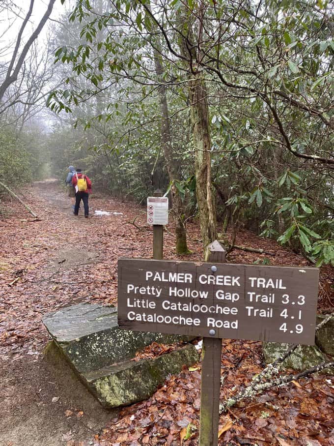
We make the right turn at the end of Palmer Creek onto Pretty Hollow and hike the final 1.6 miles at a good clip. My pace usually quickens at the end of long hikes, knowing I have snacks, dry clothes, and kombucha waiting for me, and the guys laugh at my extra effort to finish. We reach the car before dark, and Lane discovers that the bathrooms nearby are unlocked. It’s such a treat, to have a dry place to change into my warm clothes waiting for me in the car.
Lane’s wife meets him at the BP Station off of 276 as we exit Cove Creek Rd., leaving Chris and I to retrieve my car near Big Creek. To our surprise, we drive up to it and find an open gate! It sure wasn’t like that when we arrived at 9:10 a.m.! I take a photo to send to Lane, knowing he’ll be amused and annoyed. The string of emojis he sends me in return expresses those exact sentiments.
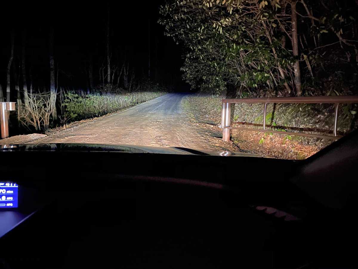
The open gate at the park boundary!
Chris and I drive down the mountain in our separate cars and our paths diverge at I-40: Me, towards my family in North Carolina and Chris towards his in Tennessee. The spine of the Smokies may separate Lane and me from Chris, but I never doubt that our friendships are strong enough to cross the divide, and I’m forever thankful for them in my life.
Another great adventure!
Happy trails,
Nancy
TRAIL REPORT CARD AND GPX TRACK
Mileage: 19.7 miles
Potential Hazards: Winter weather is a wild card in the Smokies, and you should always check the weather forecast before leaving on a hike (and several days after your hike, just in case you’re out longer than expected). Always leave for a hike expecting to stay out overnight, just in case you’re forced to with an injury, are lost, etc (SAR teams will never arrive as quickly as you’d like them to).
There are a couple of unbridged creek crossings on Palmer Creek Trail, but they’re easy to cross with typical water levels. Of course, that could change with heavy rains.
Suitability for Kids: This would be a long day hike with kids; however, making a side trip to the Mt. Sterling Fire Tower and staying overnight in the Laurel Gap Shelter would probably make it more appealing (to both kids and many adults).
Overnight Option: As described above, this would be a fun overnight trip with a stay at the Laurel Gap Shelter.
Dog Friendly: No. Dogs aren’t allowed on trails in Great Smoky Mountains National Park with the exception of the Gatlinburg Trail and the Oconaluftee Visitor Trail.
Permits: No permits are needed to hike the trails in Great Smoky Mountains National Park, but they are required for camping in the backcountry. Reservation information for backcountry website the park’s website.
Navigation Resources
National Geographic Trails Illustrated Map of Great Smoky Mountains National Park

I use the GAIA app for all my hikes. If you are interested in using GAIA, you can get a 20-50% discount off a subscription (and I highly recommend it). I use it for both SAR and personal use exclusively.
RECOMMENDED GEAR
I carry the 10 essentials in my pack at all times and you should too! If you’d like to know what gear I use and recommend, here’s my gear list.
P.S. If you’re interested, and especially if you’re new to hiking or backpacking, I invite you to join my Facebook Group, where I post the best deals on quality hiking/backpacking/camping gear that I can find. But more importantly, I provide education on outdoor safety topics, based on my SAR operations. It’s a fabulous group of people and I like to think of it as one of the nicest Facebook groups out there. 🙂
[content-upgrade id=”3163″]